Overview
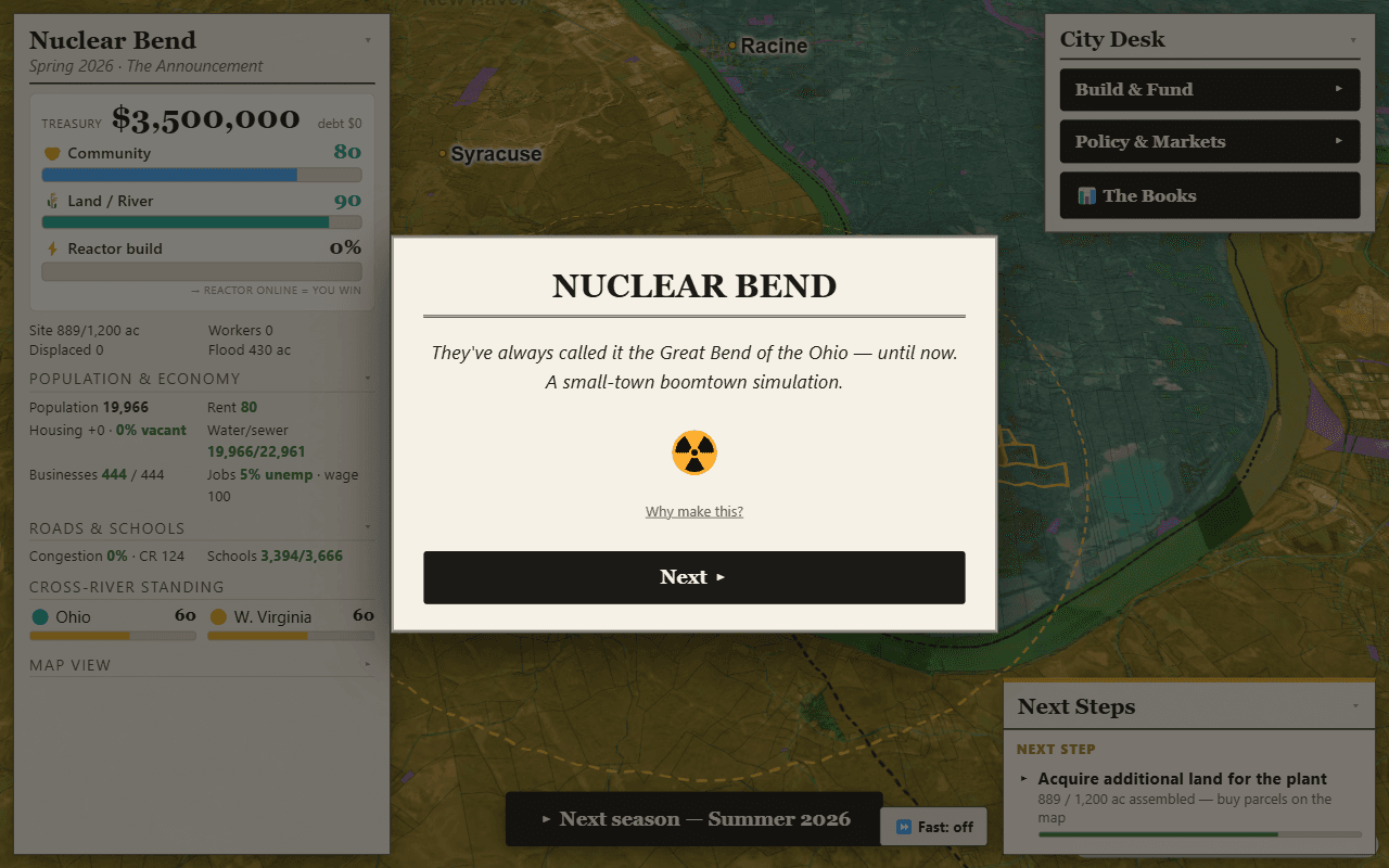
There is a real proposal to build a nuclear power plant near Letart Falls, Ohio. Nuclear Bend asks: what if the boomtown speculation around it were a city-builder? Instead of a fictional grid, the game board is the real parcel map of the surrounding tri-county area, so every lot you buy, rezone, or flip is an actual piece of land in the public GIS records.
The question I was exploring: does a management sim get more interesting when the map is true? A made-up town is infinitely forgiving. A real one has awkward parcel shapes, a river in the way, and a fixed amount of land near the plant gate — which turns out to be exactly what makes the speculation game work.
How it works
- Real parcels as game tiles — county GIS parcel data rendered with MapLibre; the game state is layered on top of real lot boundaries rather than a tile grid.
- Boomtown economics, played straight — land near the announced site appreciates on rumor, spikes on milestones, and craters on delays. The satire writes itself because the mechanics are the actual mechanics.
- A real place, treated carefully — the plant proposal is real and public; the game's events are fiction layered on top of it.
Stack
Next.js and TypeScript, with MapLibre GL rendering the tri-county parcel layers. Parcel geometry comes from the counties' public GIS services and is preprocessed into vector tiles so the whole map stays snappy in the browser.